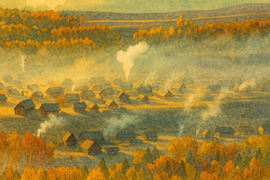
The Gentle Heart of Duku Highway
If Duku Highway If it is a precipitous dragon that runs through the spine of the Tianshan Mountains, then Bayinbulak is the gentlest heart of this dragon.
For most travelers embarking on the G217 National Highway, it is not merely a geographical landmark, but an irreplaceable transit point throughout the journey. Starting from Dushanzi in northern Xinjiang, traversing the treacherous Qiaerma Pass and crossing the snow-covered Hashilegendaban, as the wheels roll over the vast forests of Nalati, the scenery suddenly changes dramatically: the precipitous mountains and canyons vanish in an instant, replaced by boundless, flat, and open alpine meadows.
This is Bayinbulak. It is not only a transportation hub connecting northern and southern Xinjiang, but also the only place on the Duku Highway where you can stop and admire the reflection of the Tianshan Mountains and wait for the miracle of "nine suns".
Bayinbulak: A bountiful gift from the Tianshan Mountains
"Bayinbulak" means "rich spring water" in Mongolian.
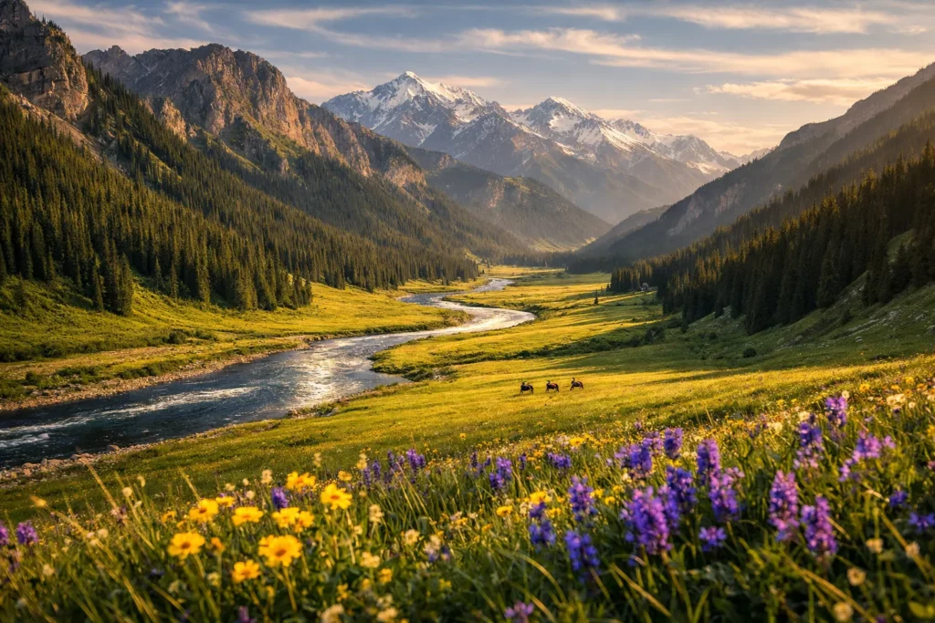
As the second largest grassland in China, it is completely different from the Inner Mongolian grasslands that people imagine as "where the wind blows the grass low to reveal cattle and sheep". Bayinbulak Grassland Located in an intermontane basin in the central part of the Tianshan Mountains, at an altitude of about 2,500 meters, surrounded by snow-capped mountains, it is a typical alpine wetland grassland.
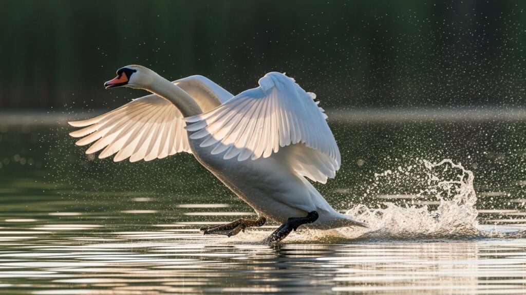
The water system here is exceptionally well-developed, with the Kaidu River flowing freely across the flat grasslands like a silver ribbon. It is this abundant water source that nourishes the famous... Swan Lake This is China's first swan nature reserve. Every spring, tens of thousands of swans fly from the south to this place to breed and roost, filling this solemn plateau with vibrant life.
Driving on the highway to Bayinbulak, you'll feel a tremendous sense of desolate beauty. The unobstructed view makes the sky seem very low, and the clouds look like they could be reached out and touched. This extreme sense of openness is a unique experience that other sections of the Duku Highway cannot provide, making even breathing feel freer.
Chasing the Light Through Nine Turns and Eighteen Bends
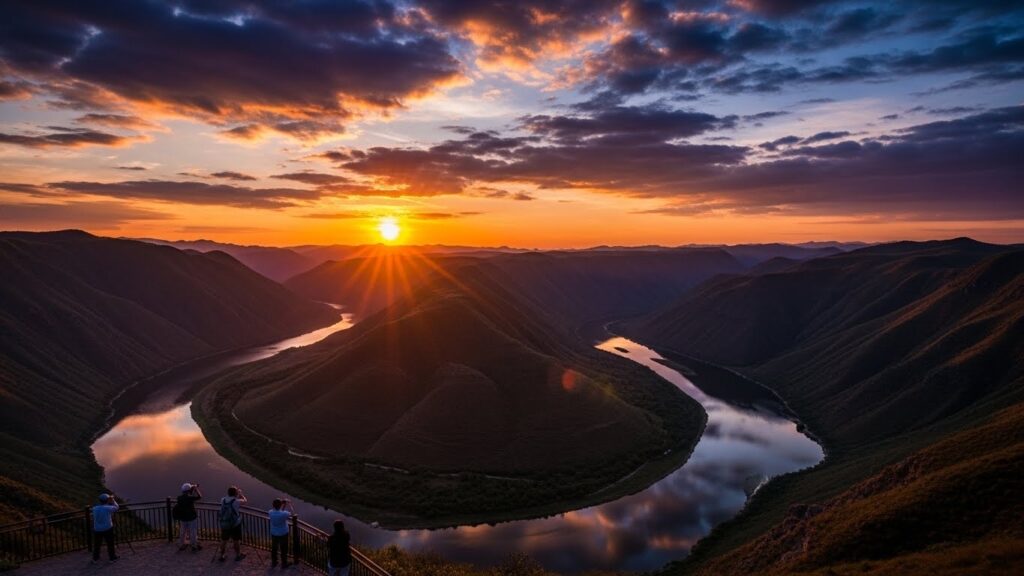
All the tourists who come to Bayinbulak are there for the same goal:Nine bends and eighteen turns Sunset.
The Kaidu River flows through a vast grassland here, its course winding and twisting due to the terrain, forming the famous "Nine Bends and Eighteen Turns". Under the sunlight, the meandering river looks like a shimmering giant dragon coiled on a green carpet.
The legendary "Nine Suns"
This is a long-standing legend in photography circles, and also the most enchanting moment in Bayinbuluke. At sunset in summer, as the sun dips below the horizon, golden sunlight spills onto the river. If you're lucky enough to stand at the best vantage point on the Basilike viewing platform, you can see the reflections of nine suns simultaneously in the winding river.
This is by no means an easy task. To witness this spectacle, a perfect combination of favorable timing, location, and human factors is required.
- Best viewing locationBasilico Viewpoint. This is the end of the scenic area and also the highest point with the most expansive view.
- Best viewing timeSummer sunsets typically occurAround 21:30 Beijing time.
- Best DateTo witness the ultimate spectacle of "Nine Suns in a Row,"Mid to late September (around the autumnal equinox)This is the recognized golden window period. At this time, the angle of sunset coincides perfectly with the angle of the river's bend.
- Weather conditionsThe sky must be cloudless and the river water level must be moderate.
When the sunset paints the clouds on the horizon red, and the river turns from silver to gold, and then to fiery red, the breathtaking sight will make you forget the cold winds of the plateau.
Survival Rules of Relay Stations on the Duku Highway
Achieving a perfect experience in Bayinbuluke is not easy. The area is at a high altitude, has a changeable climate, and as a popular stop on the Duku Highway, its capacity is often stretched thin during peak season.
Accommodation choices and trade-offs
Bayinbuluke Town is a major stop for tourists, but accommodations are in high demand. Below is a comparison of different accommodation types:
| Accommodation type | Suitable for people | advantage | shortcoming |
|---|---|---|---|
| Town Restaurant | Families, elders traveling together, and those seeking comfort | The facilities are relatively complete, with a private bathroom and charging stations. | Prices are extremely high during peak season (often exceeding 1,000 yuan), and reservations must be made at least one week in advance. |
| Mongolian yurts in the scenic area | Photography enthusiasts, young people | Close to the observation deck, saves travel time, and offers a unique experience. | The conditions are rather basic, most lack private bathrooms, and it gets quite cold at night. |
| RV/Camping | Self-driving enthusiasts | High degree of freedom and close to nature | Designated campsites need to be found; nighttime temperatures are close to freezing; specialized equipment is required. |

Filming Locations of "Pegasus": Bayinbuluke, Dushanzi, and the Filming Route for the Third Film

Kuqa Tianshan Mysterious Grand Canyon: The red rock crevice in the southern section of the Duku Highway is so narrow that only a sliver of sky can be seen.
Tangbula Hundred-Mile Gallery: A 130-kilometer-long valley in the Tianshan Mountains, free to enter but worth the detour for a special trip.

[In-depth Study of the Duku Highway] Bayinbulak: The Legend of Jiuyang and the Wetland Landscape at the Heart of the Tianshan Mountains
The Gentle Heart of the Duku Highway: If the Duku Highway is a treacherous dragon winding through the Tianshan Mountains, then Bayinbuluke is its gentlest heart. For most travelers embarking on the G217 National Highway, it's more than just a geographical landmark; it's…

The ultimate showdown of self-driving tours in Xinjiang: Duku Highway vs. Yizhao Highway - in-depth analysis of opening hours and road conditions.
For travelers yearning for a self-driving trip in Xinjiang, the Duku Highway (G217) is undoubtedly a legendary destination. However, in recent years, the Yizhao Highway (S237) has rapidly gained popularity, being dubbed "Little Duku" and even "more dangerous than Duku." What are the similarities and differences between these two highways? If time is limited, how should one choose?

2026-2027 Duku Highway Opening Hours: Recommended Alternative Routes
Key Opening Schedule: It has been officially confirmed that the Duku Highway (National Highway 217), which traverses the Tianshan Mountains and is hailed as "China's most beautiful highway," is scheduled to officially open to traffic at 10:00 AM on May 31, 2026. Currently, snow removal and road surface repair work along the entire route has been completed…
It is strongly recommended thatBook accommodation at least one week in advanceIf the town is full, you can choose to head to the next stop, Kuqa, but this means crossing the treacherous Tielimaiti Pass overnight, which is quite risky and strongly discouraged from traveling at night.
The harsh reality of "four seasons in one day"
Don't be misled by the word "summer." Bayinbuluke is located on a plateau.Extreme temperature difference between day and nightWhen you're waiting for the sunset at the observation deck, the temperature will drop rapidly to single digits once the sun goes down, accompanied by a biting cold wind. Shivering from the cold on the observation deck is an unexpected and painful lesson learned by countless tourists.
Therefore, down jackets, windbreakers, hats, and scarves are absolutely essential items in your suitcase; none can be omitted.
Transportation and Itinerary Suggestions
- Scenic Area TransportationPrivate cars are prohibited from entering the scenic area. You will need to park your car at the visitor center and transfer to the scenic area shuttle bus (approximately 40-50 minutes one way) to reach the main attractions.
- Time ManagementAlthough it is less than 100 kilometers from Nalati to Bayinbuluke, the mountain road is rugged and the journey takes 2-3 hours. To catch the sunset spectacle, it is recommended to arrive at the visitor center by 4:00 PM at the latest to purchase tickets and queue.
The Duku Highway is a flowing visual feast, and Bayinbuluke is the climax of this feast. Here, you don't just see a road, but a dialogue between heaven and earth. When the reflections of nine suns fade in the Kaidu River, and when a sky full of stars blankets the wilderness, you will understand why people say: "Without traveling the Duku Highway, one cannot know the beauty of Xinjiang; without visiting Bayinbuluke, one cannot know the distance to paradise."
Frequently Asked Questions about Bayinbulak Tourism
When is the best time to visit Bayinbulak?
What is the altitude of Bayinbulak? Is there altitude sickness?
Can I drive my own car into the Bayinbulak Scenic Area?
What time should I arrive at the viewing platform to watch the sunset over the winding Nine Turns and Eighteen Bends?
How do I get to Bayinbulak if the Duku Highway is closed?